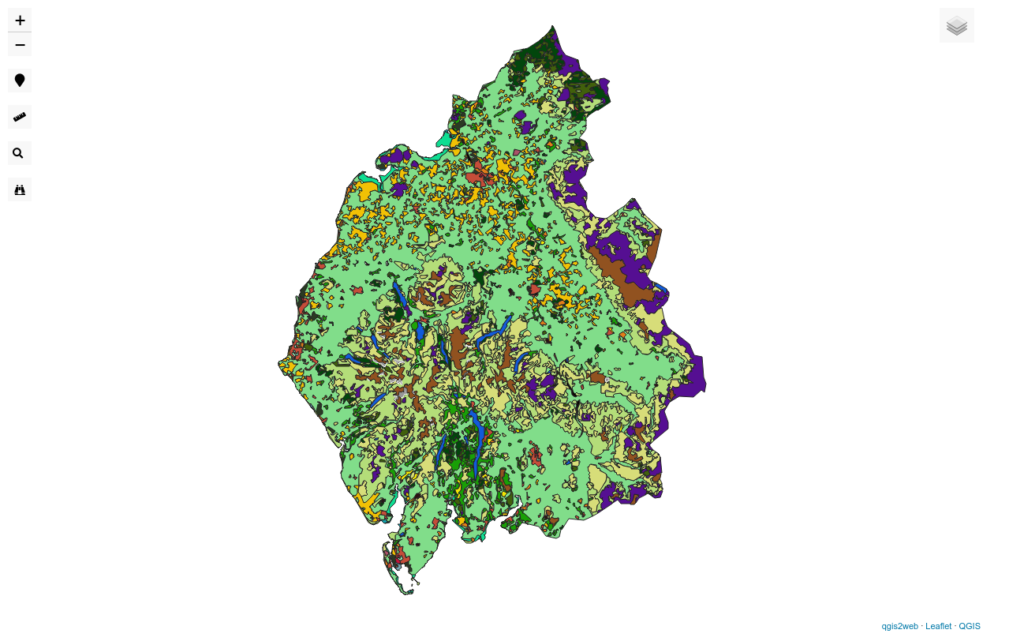
Click here for a map of land use in Cumbria. Click the layers on and off to see what land type is where...
As the nation strives to meet its statutory obligations to become carbon neutral by 2050, the use of land within the UK will come under increasing scrutiny. GIS can help here. The two reports here describe the current situation in the UK and were made primarily using QGIS. The CORINE dataset used is extremely detailed and gives a very good - though not perfect - idea of how land is being used across the UK.
A more detailed report that deals with the nations of the UK as well as the land use across the English regions


