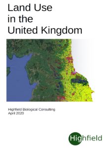
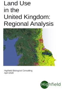
I have produced two reports on Land use in the UK. the first is an overview of the UK situation whilst the second goes into more detail with respect to the different regions and countries of the UK
The data mapped was obtained from the Copernicus Land Conitoring Service (CORINE 2018) data. Please feel free to downl;ad the report or any of the figures. The reports are still provisional and may be changed if/where errors become apparent.
The various GIS maps will be uploaded as a GeoPackage shortly.
Links
The original data (shapefiles) can be downloaded from Copernicus (you will need to register). The above used 2018 data (clc2018_cls2018_v2018_20b2_fgdb - this is a geopackage) but earlier datasets are also available.
UK Shapefiles for the whole country, counties and regions can be downloaded from the Ordnance Survey (look for the gadm36_GBR_2_GID_NAME-XXX files for individual counties, cities etc.).


